
Latest Updates
News & Insights
Stay up to date with Dali Geotech's latest projects, partnerships, industry developments, and data innovation stories from across Africa.
Showing 2 of 2 articles in Partnership for "partnership"
Clear filters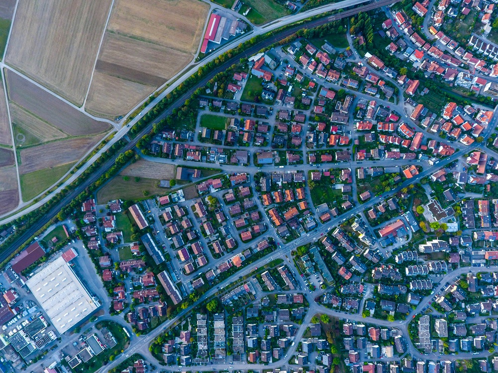 GIS
GIS
Dali Geotech signs a strategic agreement to extend geospatial data services into Nigeria and Ghana, unlocking new mapping intelligence for governments and enterprises operating across the West African economic corridor.
View in Feature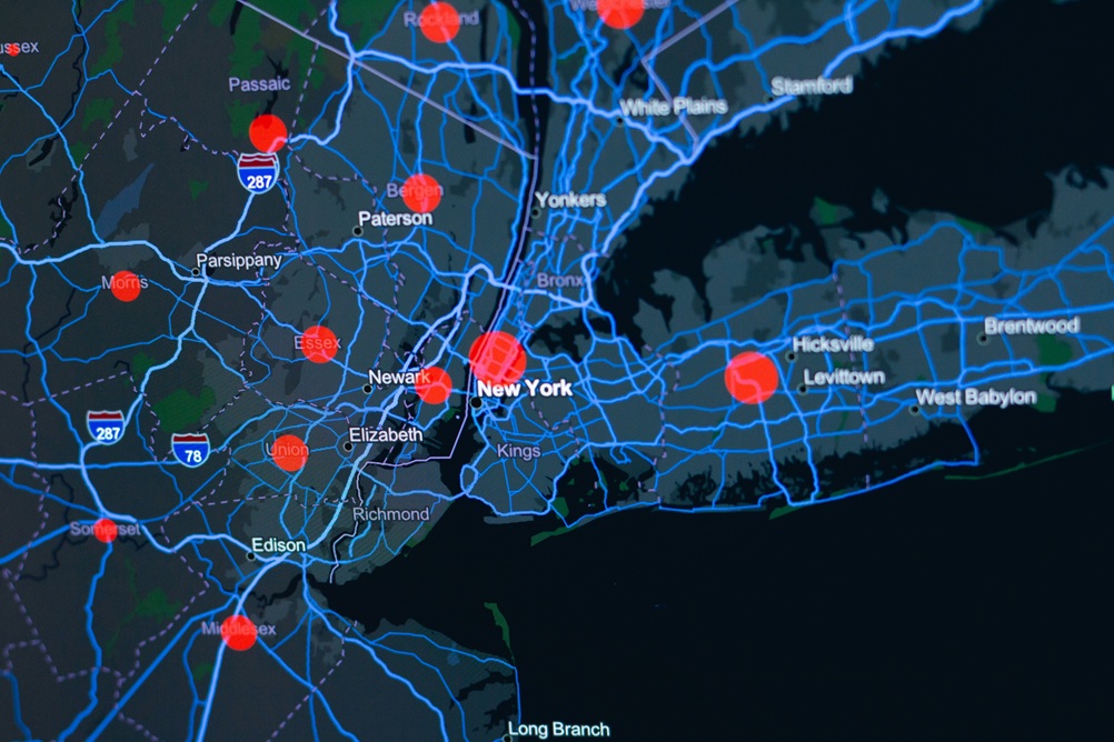 Agriculture
In collaboration with the Ethiopian Ministry of Agriculture, Dali Geotech has deployed a nationwide satellite-based crop monitoring system covering over 2 million hectares of farmland to support food security planning.
View in FeatureLet Dali Geotech help you turn data into decisions — across Africa and beyond.