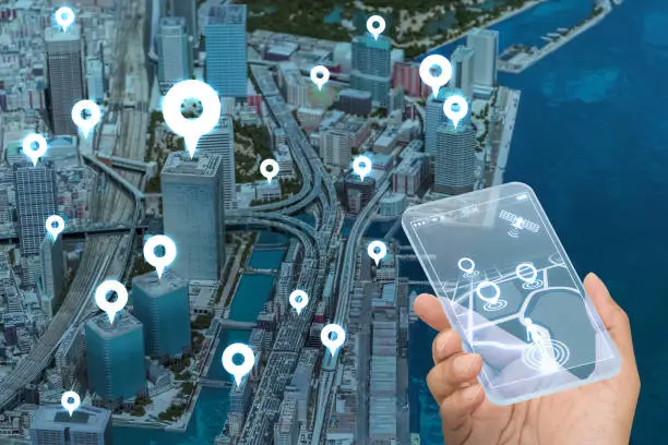
How DALI Geotech Enables Businesses to Turn Data Into Location Intelligence
DALI Geotech enables businesses to transform raw data into actionable location intelligence through digital data collection, GIS, spatial analysis, mapping, dashboards, and system development. By connecting business information with geographic context, organisations can better understand customers, assets, operations, markets, and service coverage, supporting informed planning and decision-making.
For modern businesses, data is becoming an essential resource for understanding customers, markets, assets, operations, and opportunities. However, collecting data alone is not enough. Businesses need the right systems and analytical capabilities to turn that information into meaningful insights.
This is where DALI Geotech enables organisations to move from data collection to location intelligence.
By combining data collection, GIS, spatial analysis, mapping, system development, and data analytics, DALI Geotech helps businesses connect their operational information with geographic context and gain a clearer understanding of their business environment.
Collecting the Right Data
The foundation of location intelligence is reliable and relevant data.
DALI Geotech can support organisations in designing and implementing digital data collection processes that capture information from the field and other business operations. Depending on the business need, this can include information about customers, assets, infrastructure, service locations, field activities, facilities, and other geographic features.
Instead of relying heavily on disconnected or manually maintained information, businesses can have structured digital processes for collecting and managing location-based data.
Connecting Business Data With Location
A business may already have valuable information such as customer records, sales, assets, service requests, or operational activities. However, without geographic context, it can be difficult to understand how these activities relate to different locations.
DALI Geotech helps connect business data with geographic information, allowing organisations to understand where customers are located, where assets are distributed, where services are being provided, and how activities differ across areas.
This creates a more complete picture of business operations.
Using GIS for Business Analysis
Through GIS and spatial analysis, collected information can be transformed into useful location-based insights.
DALI Geotech can help businesses analyse questions such as:
- Where are our customers concentrated?
- Which areas have high or low demand?
- Where are our assets located?
- Which areas are underserved?
- How far are customers from our services?
- Where should we consider expanding?
- How are our operations distributed geographically?
These analyses can help businesses identify patterns that may not be visible in ordinary spreadsheets or reports.
Visualising Information Through Maps and Dashboards
One of the advantages of geospatial analysis is the ability to present complex information visually.
DALI Geotech can develop maps, dashboards, and digital systems that allow organisations to view their data geographically and monitor important business information from a central environment.
For example, a business could visualise customer distribution, service coverage, infrastructure, field activities, or assets on a map and use filters and analytical tools to explore specific locations.
This makes information easier to understand and supports faster decision-making.
Supporting Market and Business Expansion
Location intelligence can also support business growth.
By analysing the geographic distribution of customers, competitors, services, infrastructure, and other relevant factors, organisations can identify areas with potential for expansion.
Rather than selecting new business locations based only on assumptions, businesses can use spatial evidence to compare different areas and better understand the opportunities and challenges associated with each location.
Monitoring Business Operations
Location-based data can also help businesses monitor activities after they have been established.
Through digital systems and geospatial dashboards, organisations can track field activities, service points, infrastructure, assets, and other geographically distributed operations.
This can improve visibility across the organisation and help management identify operational gaps, changes, or areas that require attention.
Building Systems Around Business Needs
At DALI Geotech, location intelligence is not limited to producing maps.
We develop digital systems that integrate data collection, management, GIS, and analysis according to an organisation's specific requirements.
This means a business can have a system designed around its own workflows while incorporating geographic information where it adds value.
The result is a more connected environment where data can move from collection → management → analysis → visualisation → decision-making.
Turning Data Into Business Intelligence
The ultimate goal is not simply to collect more data. It is to make that data useful.
DALI Geotech helps organisations transform raw location-based information into intelligence that can support planning, operational management, customer analysis, asset management, market development, and strategic decision-making.
By bringing together technology and geospatial capabilities, businesses can better understand not only what is happening, but also where it is happening and what that means for the business.
DALI Geotech: Enabling Location Intelligence
DALI Geotech combines data solutions, system development, GIS, spatial analysis, mapping and visualisation to help organisations make better use of their data.
Whether the requirement is a field data collection platform, a business management system connected to geographic information, a location-based dashboard, or deeper spatial analysis, the objective remains the same:
to turn business data into practical intelligence that supports better decisions.
As businesses become increasingly data-driven, integrating location intelligence into their operations can provide a stronger understanding of customers, markets, assets, and opportunities—and help organisations make decisions based on evidence rather than assumptions.